
Official state trunk highway system maps (December 31, 2014 edition)
Interactive map | List of counties (alphabetical)
These maps contain locations of state trunk highway routes including:
- State Trunk Highways (STH)
- US highways
- Interstates
- Designated freeways
- Expressways
The maps are presented as Adobe PDF files, and are printable on 8.5" x 11" (or larger) size paper.
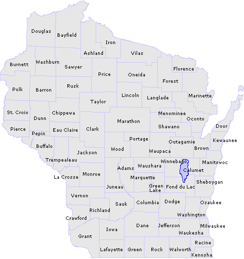
Click the desired county on the map below for a detailed view or choose from an alphabetical county list.
Important: The following document(s) are in Adobe PDF
 format.
(Note: Some files are large and may take
longer to download depending on individual connection speeds. Users
may need to zoom in to see details.)
Also available
- List of state trunk highway routes
- Freeway designations
- Overview of state's freeways and expressways - eastern Wisconsin
- Overview of state's freeways and expressways - western Wisconsin
State trunk highway maps - by county
(listed alphabetically)
All maps are in PDF ![]() format.
format.
Questions about the content of this page:
Ken Cowan, kenneth.cowan@dot.state.wi.us
or
Bill Schloemer, william.schloemer@dot.state.wi.us
Last modified: June 15, 2015
[an error occurred while processing this directive]