
[an error occurred while processing this directive]
Milwaukee-area - Freeway camera images
Note: This page is no longer supported. Please visit 511 Wisconsin Travel information or call 511 for the most current travel information in Wisconsin.
- Looking for Milwaukee specific travel times? View in Table format or Map format.
- Contact 511wi@dot.wi.gov for more information.
Images from the Milwaukee area cameras are available to help travelers check freeway conditions.
- These images are updated every three minutes.
- A timestamp appears at the bottom of each camera image.
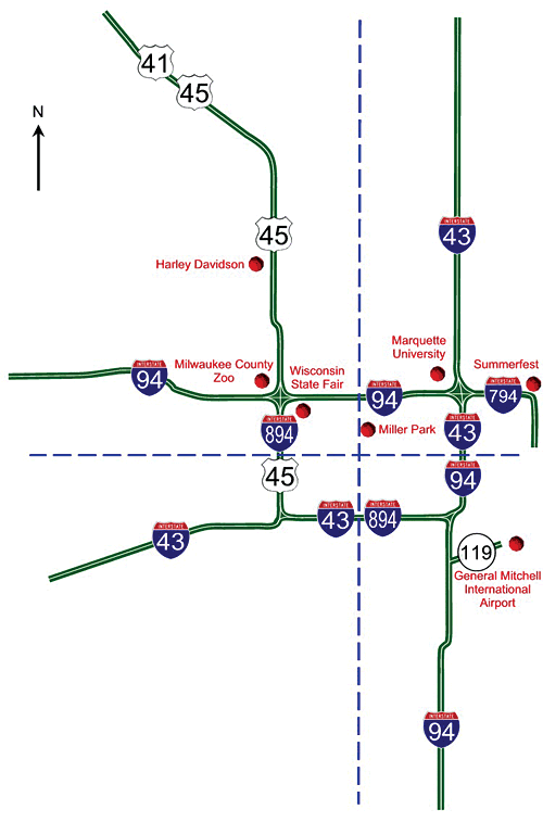
Select a quadrant from map, or from text below, to view current conditions:
Northeast quadrant | Northwest quadrant | Southeast quadrant | Southwest quadrant
Questions about the content of this page:
Statewide Traffic Operations Center (STOC),
statewide.toc@dot.wi.gov
Last modified: Feb. 27, 2014